Implementation of robust and reliable localisation systems
We create robust and affordable localisation systems for in- and outdoor autonomous vehicles based on optimal sensor selection and sensor fusion. For these systems, we achieve high accuracies (<15 cm) by selecting the best combination of sensors for your specific environment. Furthermore, we combine, through sensor fusion, our knowledge about vehicle dynamics with sensor models to filter out outliers and improve localisation robustness.

What do we offer?
We can help you develop, test and validate the appropriate localisation solution for your specific environment or application. By combining the right sensors, we ensure a cost-effective solution, even for large-scale indoor environments.
To this end, we offer a sensor fusion toolbox for the localisation and mapping of autonomous vehicles, including:
- Simulation environments with:
- dynamic drone/AGV models;
- optimisation of UWB sensor placement for single and multi-cell installation;
- estimation of the localisation accuracy.
- Ultra-Wide Band (UWB) components for 1D-2D-3D localisation:
- outlier removal for ultra-wide band localisation systems;
- debugging and analysis tools for ultra-wide band localisation performance;
- proprietary firmware and PCBs for Decawave (https://www.decawave.com/) UWB hardware.
- Online asynchronous state estimation (OASE) toolbox for easy online implementation of sensor fusion for multi-sensor systems, which automatically deals with measurement delays.
Potential applications
- Range estimation devices for monitoring compliance with social distancing rules
- Industrial AGV localisation system based on sensor fusion of UWB, wheel encoders and vehicle model;
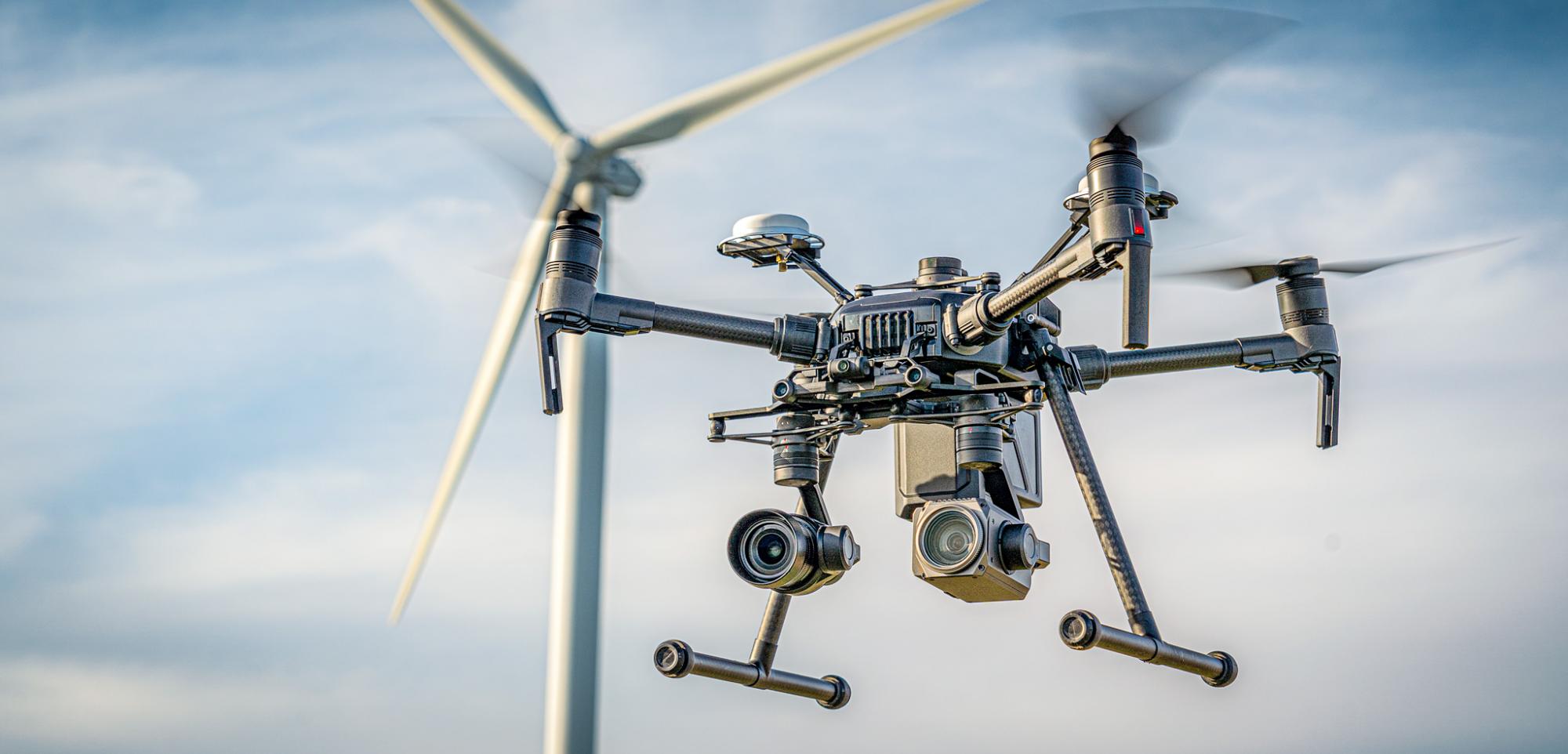
- 3D Drone localisation system for large scale environments based on sensor fusion of UWB, passive visual markers, SLAM, IMU and drone model;
The solution can be extensively tested and validated in our AGV and drone labs.
Our unique software
- OASE: Online Asynchronous State Estimator Toolbox
- UWB auto-calibration methods
- UWB components for 2D (AGV) and 3D (drones) localisation
Customer success story
Automated indoor drone navigation
Problem
Due to the lack of an indoor localisation system (no GPS reception), the automated navigation of drones in large-scale indoor environments (e.g. a warehouse) is challenging.
Solution
To solve this, we fused UWB (ultra-wide band) sensor measurements, visual marker localisation and visual SLAM with traditional drone sensors (accelerometers, gyroscopes, barometer and lidar for altitude).
Customer value
By combining the different sensor data we achieved:
- Indoor positioning for indoor drone flights in large-scale environments of over 10,000 m2 with accuracies below 15 cm
- Robustness in terms of incorrect measurements (e.g. outliers)
By combining multiple technologies and selecting the appropriate combination for different parts of the environment, we were able to optimise the total hardware and installation cost for the customer.