Development of dynamic path planning for autonomous vehicles
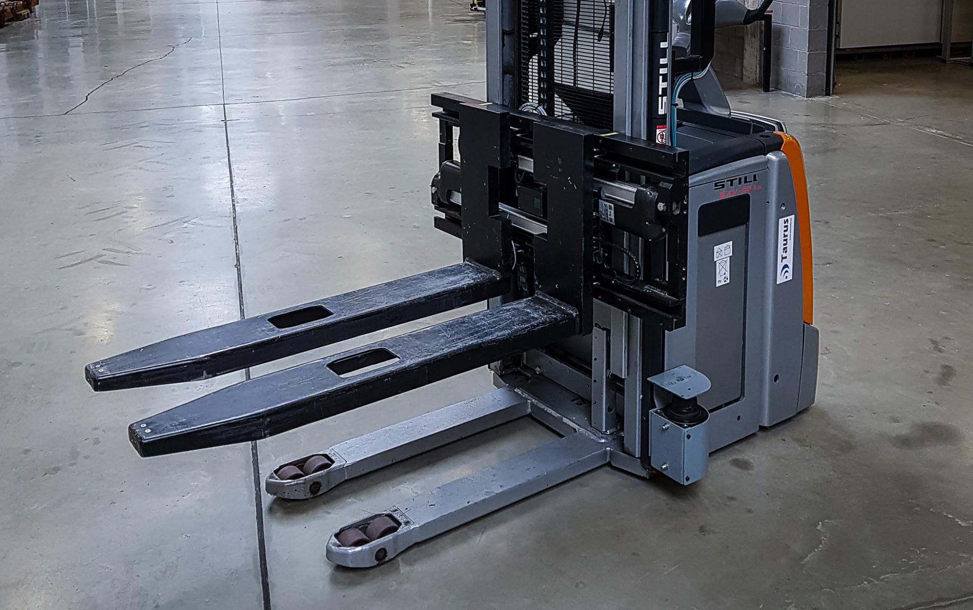
Autonomous vehicles are increasingly finding their way to the production floor. Think about AGVs transporting semi-finished products throughout the factory, drones inspecting machinery for preventive maintenance, boats that automatically survey the waterways.
We provide several tools that enable users to develop environment models, deploy sensor fusion for environment perception and develop dynamic path planning and tracking controllers.

What do we offer?
Our toolbox includes:
- Global path planning using computational resources for efficient QUAD map representation;
- Local path planning that takes the immediate environment and specific vehicle constraints into account;
- LIDAR-based obstacle avoidance;
- Autonomous reverse driving whenever the vehicle is obstructed;
- Dynamic adaptation of the maximum speed when overtaking obstacles and when recognising pedestrians;
- Semi-autonomous vehicle path tracking based on energy-optimal & model-predictive control.
The algorithms can be deployed and validated on real-time embedded controllers.
Our unique software
- Optimal Motion Generation Tools (OMGtools)
- Quad map virtual world toolbox
Customer success story
dotOcean deployed the final version of the “Quad map virtual world toolbox”.
This toolbox can be used to build virtual world models represented as quad maps. A quad map is based on a spatial tree structure with a high resolution in occupied areas and a low resolution in empty areas. These virtual models:
- have a small memory size and can thus be transmitted fast over a cellular network connection with limited bandwidth;
- are modular and are easily updatable without having to resend the complete map;
- can be used together with traditional path planning methods such as A*, allowing to find the fastest route to navigate from A to B with minimal computational resources, starting from a pre-existing occupancy map.
Problem
Autonomous boats need to navigate across harbours and adapt their paths to a dynamic, changing environment (boats, currents, water depth…).
Solution
Quad map-based environment representation that efficiently maps large-scale environments, uses the latest information on radar and ship positions in the harbour and allows for efficient path planning within the available space.
Customer value
- No need to indicate fixed paths that the autonomous boat must follow.
- Boats are not blocked by fixed obstacles.
- Time-optimal navigation paths increase performance.
- Efficient implementation for constrained computational platforms.